GovTech / Data Platform / UI/UX / Geospatial
Urbis
An open-source platform connecting geospatial mapping, urban data, legislation, and municipal services in São Paulo
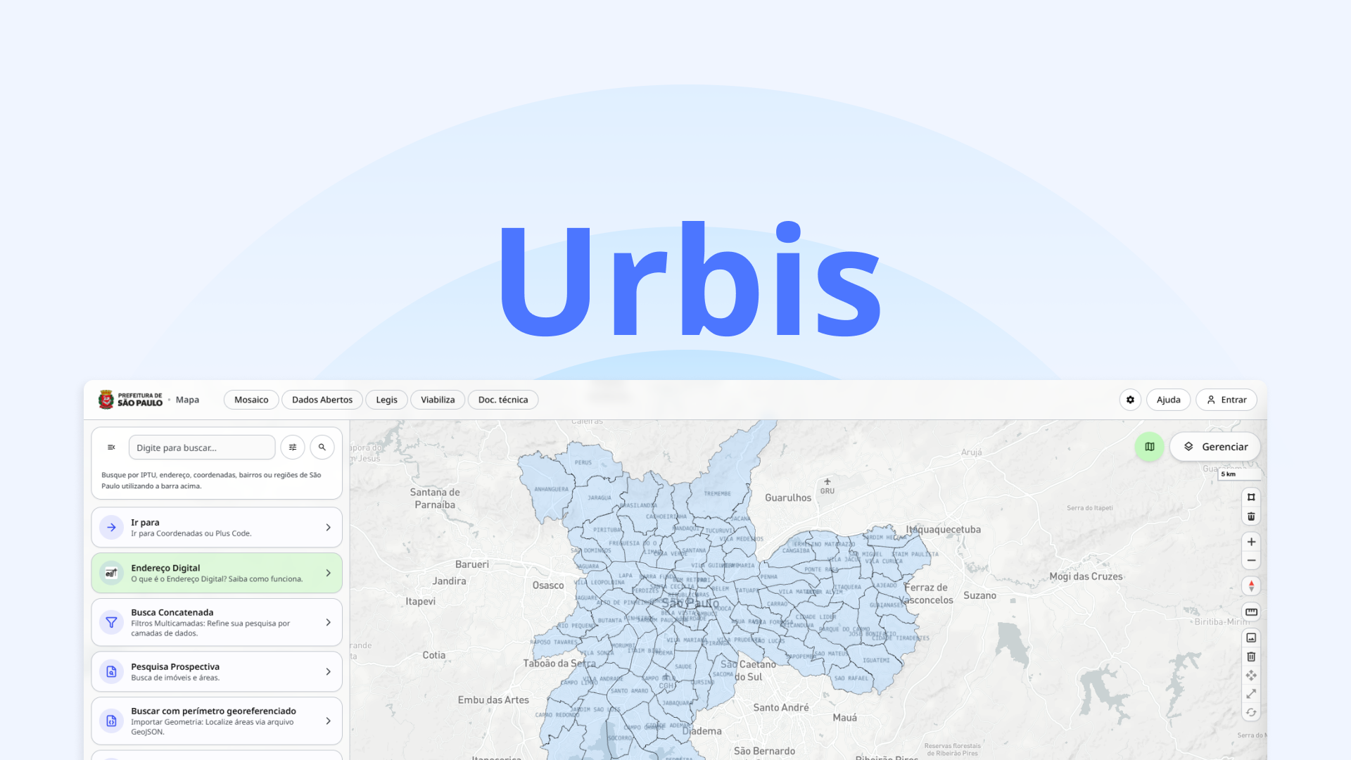
Urbis is an open-source platform for municipal management and territorial mapping in São Paulo. Its ecosystem includes a public portal, interactive GIS map, legislation tools, identity services, workflow forms, and an open data catalog.
My Role
Problem
Municipal teams and the public need access to maps, urban data, legislation, and administrative services to understand the territory and support decisions. Bringing these different kinds of information and workflows together calls for clear, connected interfaces.
Solution
Urbis brings these services into a modular ecosystem: an interactive Web GIS for territorial data, Legis for urban legislation, Viabiliza for forms and processes, and a public portal and open data catalog for broader access.
Challenges
- Presenting complex territorial data in an interactive map
- Making urban legislation and regulations easier to navigate
- Connecting public information, identity, and administrative workflows across modules
- Keeping a consistent experience across separate applications and services
Results
- Interactive Web GIS for exploring municipal and geospatial data
- Dedicated tools for legislation, identity, and intelligent forms and workflows
- Public access to institutional information and an open data catalog
Used tools
- Figma