
GovTech / Data Platform / UI/UX / Geospatial
Urbis
Designed a data-driven platform that transforms urban regulation complexity into actionable insights through geospatial intelligence and advanced search
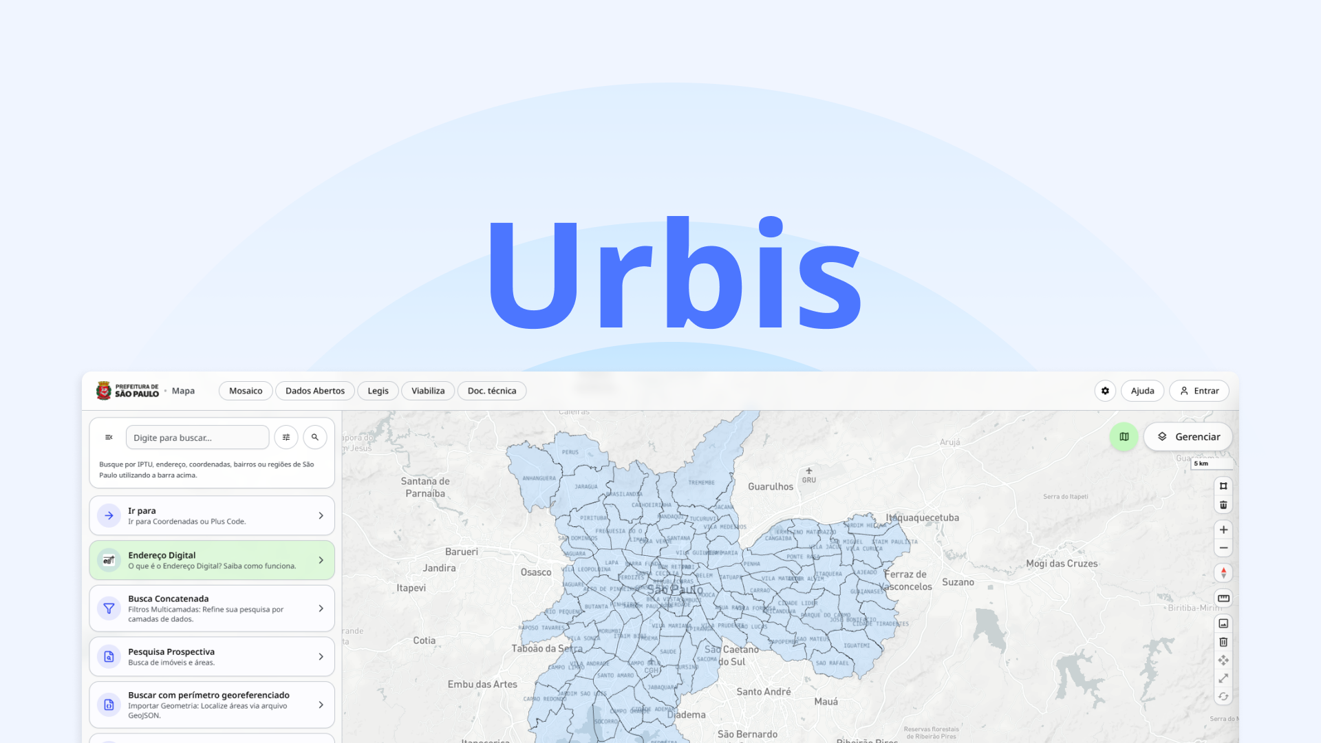
Urbis is an open-source geospatial data platform developed by the São Paulo city government to integrate urban, environmental, and regulatory data into a single system for licensing, analysis, and decision-making.
My Role


Problem
Urban regulation and zoning rules in São Paulo are extremely complex, fragmented across multiple systems, and difficult to interpret. Users struggle to understand where specific activities are allowed, what parameters apply, and how to assess project feasibility.
Solution
Designed a prospecting and analysis experience that translates complex urban legislation into intuitive search flows, combining filters, CNAE mapping, and geospatial visualization to guide users from intent to viable locations.
Challenges
- Transforming dense legal frameworks like LPUOS into usable and understandable interfaces
- Mapping real-world activities to structured classifications (CNAE, usage groups, zoning rules)
- Designing advanced filtering systems without overwhelming the user
- Aligning geospatial visualization with regulatory logic and edge cases
Results
- Reduced cognitive load when navigating zoning and licensing rules
- Enabled faster feasibility analysis for urban projects and business activities
- Created a scalable foundation for integrating multiple urban datasets into a single interface
Used tools
- Figma